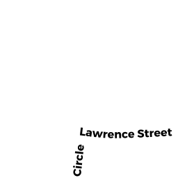
7 CAROLINE CIR (PALM)
Owner Information
GEHLHAUSEN JACOB M
20 LARAMEE STREET
CHICOPEE, MA 01020


Property Details
7 CAROLINE CIR (PALM) is classified as a Single Family Residential (Cape cod).
The primary structure on this property was built in 1985. There are 4,144ft2 of built area within this property. There is 1,668ft2 of residential/living space within this property. This property is listed as having 8 rooms.
7 CAROLINE CIR (PALM) is valued at $250,300. The land is valued at $56,100 and the structures are valued at $192,300. There is an additional valuation of $1,900 on this property.
This property is in Zone SR. Confirm with local Zoning Board authorities to ensure there are no overlays or other easements on this property.
The most recent deed for 7 CAROLINE CIR (PALM) is recorded at the local registrar in Book 5531, Page 0108. 7 CAROLINE CIR (PALM) was last sold on Saturday, November 26, 1983 for $0.
Assessment data from fiscal year 2022.
Flood Data
According to the FEMA National Flood Hazard Layer, this property does not appear to be in a flood zone. It may also be in an area not yet reviewed. Nonetheless, confirm this information prior to taking any action.
To view the flood hazards around this property, create a FEMA "Firmette" Map of the area around 7 CAROLINE CIR (PALM).
Broadband Internet Providers
| Provider | Type | Bandwidth (mbps) | |
|---|---|---|---|
| Crown Castle Fiber | Fiber | 0 | 0 |
| Viasat Inc | Satellite | 100 | 3 |
| Verizon New England Inc. | DSL | 15 | 1 |
| Comcast | Cable | 1000 | 35 |
| T-Mobile | Fixed Wireless | 25 | 3 |
| GCI Communication Corp. | Satellite | 0 | 0 |
| HughesNet | Satellite | 25 | 3 |
| VSAT Systems, LLC. | Satellite | 2 | 1 |
Broadband service provider data from December 2020.
Adjacent Properties
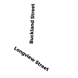
- 79 BUCKLAND ST (PALM)
Developable Residential Land owned by PASQUINI DAVID R - 9 CAROLINE CIR (PALM)
Single Family Residential owned by SCHATTGEN CARL R - 5 CAROLINE CIR (PALM)
Single Family Residential owned by KEMPESTY MICHAEL J - 16 LAWRENCE ST (PALM)
Single Family Residential owned by COACHE JUDITH A & MICHAEL J - 24 LAWRENCE ST (PALM)
Child Care Facility owned by HARNEY NICHOLAS